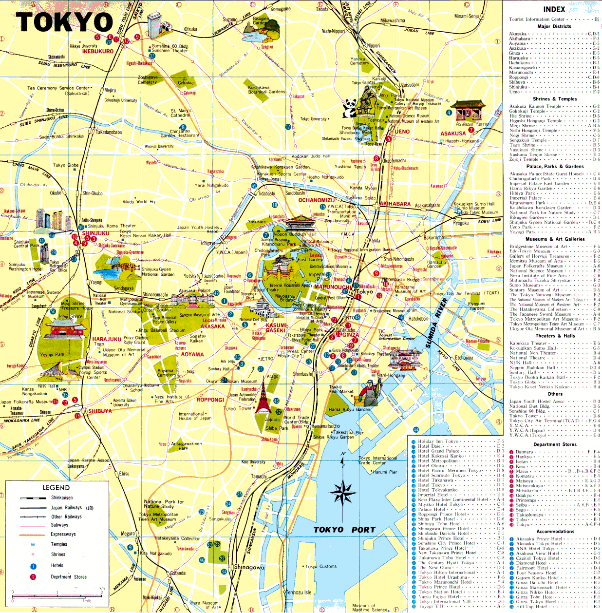
Regions don't have any administrative purpose that I know of. Wards(Ku) are sections of a city that have their own administrative offices for the various municipal services just like in some other cities in the world. In the countryside there is a division (Gun) that basically translates as county but I didn't notice any signifigance except for addresses.
It is a "to". It is the only one. Kyoto and Osaka are the only two "fu"s. Hokkaido is a "tou" or island to transliterate. The rest are "ken" (prefecture). Someone here probably knows the history behind why the four queer entries.
It only becomes confusing when you have to fill out a form in English and have to figure out where to put what, since there's most likely only one spot for city, assuming it's from America.
wards are just small districts inside a city. japanese dont have adresses like north america, so adress are by block number and wards. and ofcourse building name....
In addition to the division of Japan into four major islands a NNW to SSE line can be drawn through the center of Honshu which divides it into NE and SW Japan. This division has a strong correlation with physical and human geography. The West and East coasts of Japan differ in climate and human activities as a result; Omote Nippon (front-Japan) on the east coast and Ura-Nippon on the west coast. The ancient administrative division had 60 and some provinces in 6-7th centuries. The ensuing 1,000 years saw little change in this setup although the adminstrative units were not always observed.
Imperial capital and and five surrounding provinces were called kinai 窶ケE內; the rest of the country divided into seven do such as Tokai-do, San-in-do, and San-yo-do. Each do consisted of 5-15 provinces. The divisions remained even after they ceased to function as administrative units. The fiefs of the daimyo (feudal lords) usually corresponded with a province or a part of it; some fiefs encompassed several provinces.
1871, three yrs after the Meiji restoration , a new administrative system of prefectures was established. Presently there are 47 administrative prefectures with their boundaries invariably following some combination of the ancient provinces. Of the 47 prefectures exist
43 ken (prefecture) ナ陳ァ (テ」p) : e.g. Okayama-ken
2 fu (urban prefectures) 窶「{ : e.g. Osaka-fu, Kyoto-fu
1 to (metropolis) 窶徭: Tokyo-to
1 do (island) 窶懌?。: Hokkai-do
Although these prefectures variously having the endings ken, fu, to, and do are currently the larest administrative units, other divisions are commonly used for different purposes. Often for human geographic descriptions, 8 chiho (districts) is employed; Kyushu, Chugoku, Shikoku , Knki, Chubu, Kanto, Tohoku, and Hokkaido . Each district has 4-7 prefectures wiith Hokkaido as an exception having only one Hokkai-do prefecture.
These districts have been around for quite long, and there exist certain homogeneity unique to each district. For statistical purposes the use of this district system is gradually declining, it still serves one of the primary division of Japan in the minds of the Japanese people and in the organizational structure of government and private businesses.
source: abridged from Japan: a regional geography of an island nation Teikoku-shoin, 1982, pp. 26-28
This site uses cookies to help personalise content, tailor your experience and to keep you logged in if you register.
By continuing to use this site, you are consenting to our use of cookies.